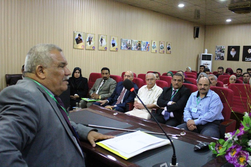
A symposium at Al-karkh university of science on the role of GIS in assessing the hydrochemical status of groundwater ..
College of remote sensing and geophysics organized a scientific symposium on pivotal role of geographic information systems software in assessing the hydrochemical status of groundwater and its impact on solid salinity .
The symposium , which was delivered by Dr. Awras Mohi , included two lectures . The first lecture dealt with the reasons of the decline of most surface water resources or its poor quality in middle and west Iraq. The second lecture dealt with how to prepare maps for salinity and the ratio of sodium adsorption in shallow groundwater in the usual spatial prediction method .
The symposium aimed at identifying the chemical deterioration in solid resources and studying the chemical properties of groundwater used in irrigation of agricultural lands.
The symposium concluded with several recommendation , the most important of which is the necessity of integration in laboratory examination data of saline-affected soils’ samples with remote sensing datd in order to produce a map showing the distribution of the types of saline-affected soils . the laboratory tests should not only be limited to salinity of irrigating water but also examine the groundwater to show the degree of internal drainage of soil.

You may also like


Chairing a Master’s Thesis Defense on Seismic Risk to Pipelines
