
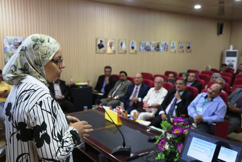
A lecture at College of Remote Sensing and Geophysics on the use of Geographic information system (GIS) to determine the locations and the nature of drought in Iraq
College of Remote Sensing and Geophysics organized a scientific lecture on the use of Geographic information system (GIS) to determine the locations and nature of drought in Iraq.
The lecture which was delivered by Dr. Esraa QAhtan included an explanation on the types of drought and the methods used to calculate it, and how to map drought using GIS and spatial analysis tools.
The lecture aims at addressing the tropical drought in Iraq, using the mathematical concept of internal and external completion methods used in the system.
You may also like


Chairing a Master’s Thesis Defense on Seismic Risk to Pipelines
22 October, 2025

Scientific Participation in a Master’s Thesis Defense
22 October, 2025